About Paris Metro & RER & Tram Free
Paris Metro & RER & Tramway - a simple free and offline map of Paris very useful for tourists and visitors. It includes: - Paris Metro - Paris RER - Paris Tramway. The Paris Métro or Métropolit
Paris Metro & RER & Tramway - a simple free and offline map of Paris very useful for tourists and visitors.
It includes:
- Paris Metro
- Paris RER
- Paris Tramway.
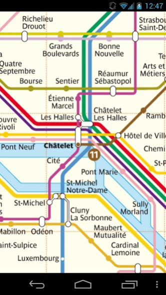
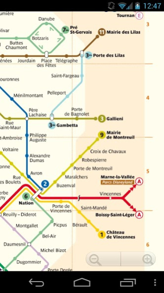
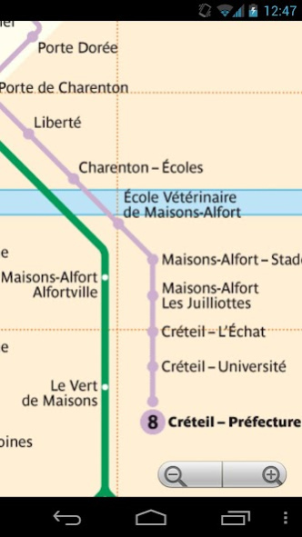
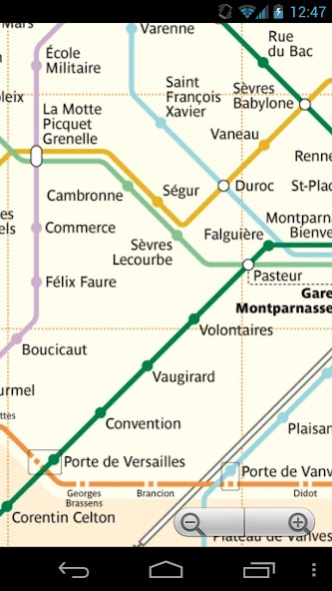
The Paris Métro or Métropolitain (French: Métro de Paris) is the rapid transit Metro system in Paris, France. It has become a symbol of the city, noted for its density within the city limits and its uniform architecture influenced by Art Nouveau. The network's sixteen lines are mostly underground and run to 214 km (133 mi) in length. There are 301 stations (384 stops), of which 62 facilitate transfer to another line.
Paris has one of the densest Metro networks in the world, with 245 stations within 86.9 km2 (34 sq mi) of the city of Paris. Lines are numbered 1 to 14, with two minor lines, 3bis and 7bis. The minor lines were originally part of lines 3 and 7 but became independent.
Lines are identified on maps by number and colour. Direction of travel is indicated by the destination terminus.
Paris is the second busiest metro system in Europe, after Moscow. It carries 4.5 million passengers a day, and an annual total of 1.479 billion (2009). Châtelet – Les Halles, with 5 Métro lines and three RER commuter rail lines, is the world's largest Metro (Subway) station.
The first line opened without ceremony on 19 July 1900, during the World Fair (Exposition Universelle). The system expanded quickly until the First World War and the core was complete by the 1920s. Extensions into suburbs (together with Line 11) were built in the 1930s.
The network reached saturation after World War II. The Métro introduced newer trains to allow higher traffic. Further improvements are limited by the design of the network, such as short distances between stations, the solution was a second network. Besides the Metro, Downtown Paris and its urban area are served by the RER developed from the 1960s, several tramway lines, the Transilien (suburban trains) and two VAL lines serving Charles De Gaulle and Orly airports.
In the late 1990s, the automated line 14 was built to relieve RER line A.
On June 26, 2012, it was announced that the Paris Métro would get Wi-Fi coverage in most stations. Access provided is free to users, and a premium paid alternative offer is proposed for a faster internet connection.
Previous Versions
Here you can find the changelog of Paris Metro & RER & Tram Free since it was posted on our website on 2013-08-23 15:22:46.
The latest version is 3.2 and it was updated on 2024-04-22 21:27:14. See below the changes in each version.
Paris Metro & RER & Tram Free version 3.2
Updated At: 2020-09-11
Changes: - map updated
Paris Metro & RER & Tram Free version 100.11
Updated At: 2014-01-31
Changes: - map impovements on some devices
Paris Metro & RER & Tram Free version 100.7
Updated At: 2013-02-08
Changes: Several fixes and updates
Disclaimer
Official Google Play Link
We do not host Paris Metro & RER & Tram Free on our servers. We did not scan it for viruses, adware, spyware or other type of malware. This app is hosted by Google and passed their terms and conditions to be listed there. We recommend caution when installing it.
The Google Play link for Paris Metro & RER & Tram Free is provided to you by apps112.com without any warranties, representations or guarantees of any kind, so access it at your own risk.
If you have questions regarding this particular app contact the publisher directly. For questions about the functionalities of apps112.com contact us.